

Nature Field Guide
San Fernando Waterfall
- Spanish name
- Catarata San Fernando
- Scientific name
What Do Pico & Tati Think?
Join Pico and Tati to discover San Fernando Waterfall and learn how water shapes Costa Rica’s landscapes.
Species overview
About the San Fernando Waterfall
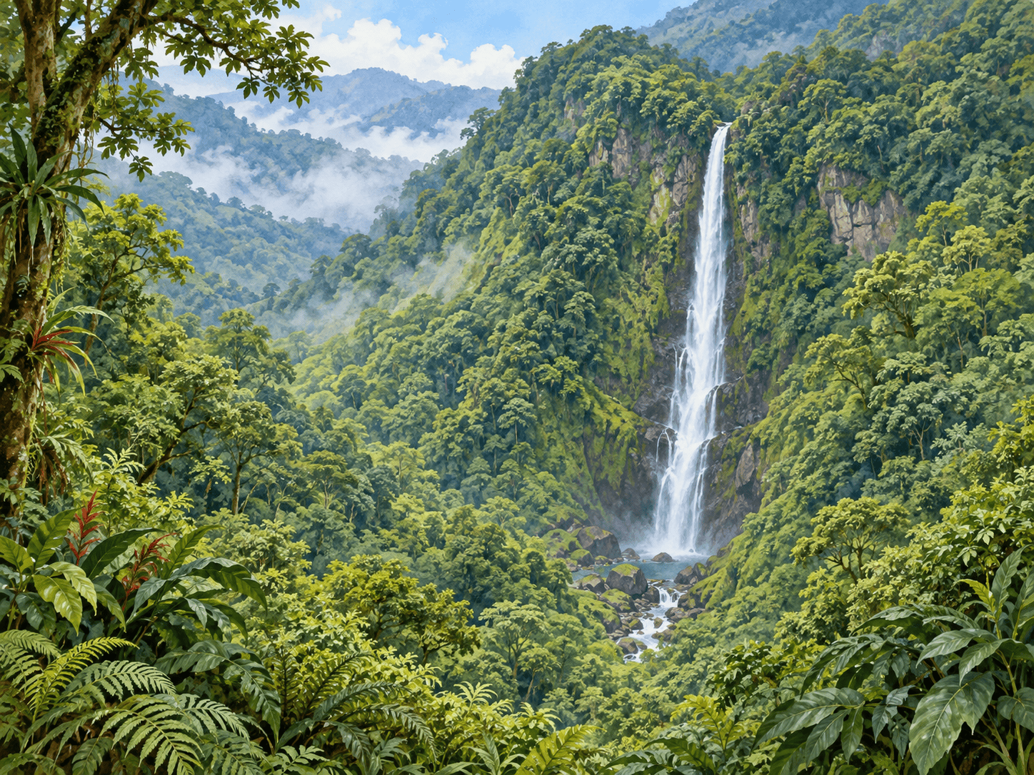
San Fernando is a tall waterfall visible within a dense forest landscape near Cinchona. Viewing from a distance helps explorers see the relationship between a waterfall and the surrounding slopes.
Identification
Key Features of the San Fernando Waterfall
A tall falling stream.
Dense vegetation around the falls.
Steep forested terrain.
Habitat & range
Cinchona, Vara Blanca–San Miguel de Sarapiquí corridor. Look for the waterfall’s river, rock formations and surrounding vegetation from approved viewing areas.
Local observations
A Costa Rican waterfall location. This card is educational and does not guarantee access, swimming permission or current visitor conditions.
When to observe
Plan a daytime visit after checking current opening arrangements, trail conditions and weather with the site operator. Flow, visibility and access can change with rainfall.
Conservation & care
Visit with an adult and follow the site’s current access rules and staff guidance. Stay on authorized trails and behind barriers. Wet rocks, steep drops, strong currents and sudden rises in water can be dangerous. Do not jump from waterfalls or climb wet rock faces. Enter water only where explicitly permitted and conditions are approved by site staff. Leave plants, rocks and wildlife undisturbed and carry out all litter.
Observation activity
Use a distant reference view to sketch the waterfall’s position within the hillside.
Plan Your Visit
Cinchona — San Fernando waterfall viewing area
Getting There
Travel along the Vara Blanca–San Miguel de Sarapiquí corridor to Cinchona. Arrange a permitted viewing stop with a local business or guide and ask where parking is available.
Before You Go
This map shows Cinchona as a viewing area, not a verified waterfall trailhead. The tourism board identifies highway views. Public base access is not verified; obtain permission before entering private land.
Visit information reviewed October 8, 2026. Confirm current access before travel.