Tico Explorers

Nature Field Guide

Waterfalls

Explore wildlife, plants and trees. Learn what to look for and where to find them.

All Nature

15 profiles

Nature Field Guide

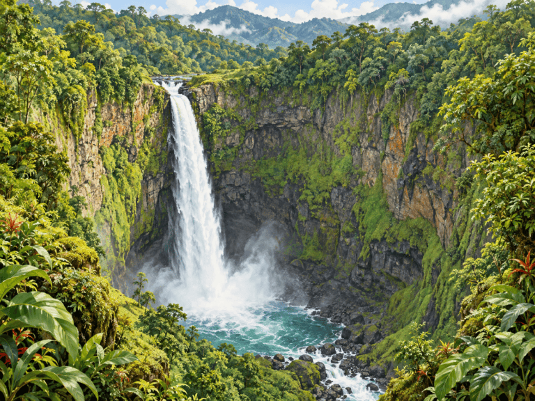
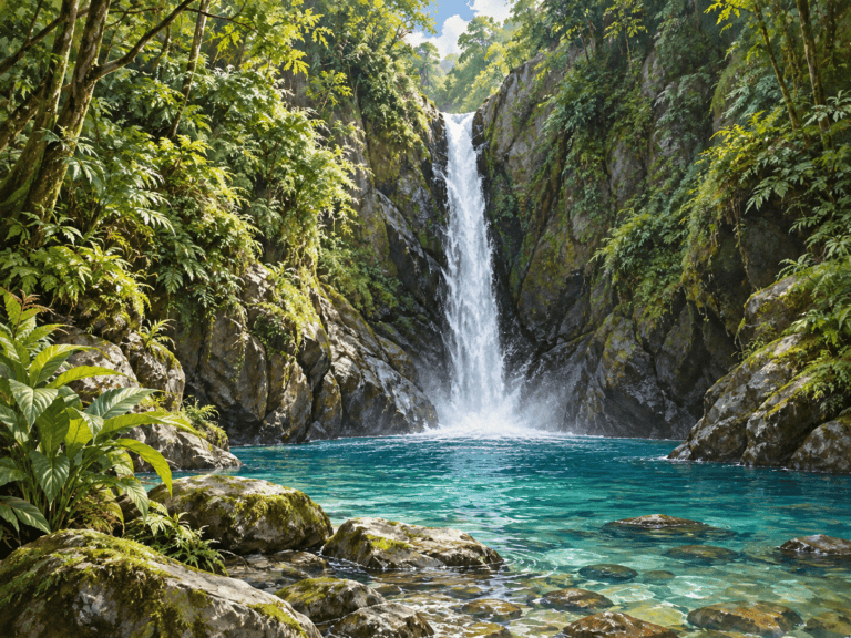
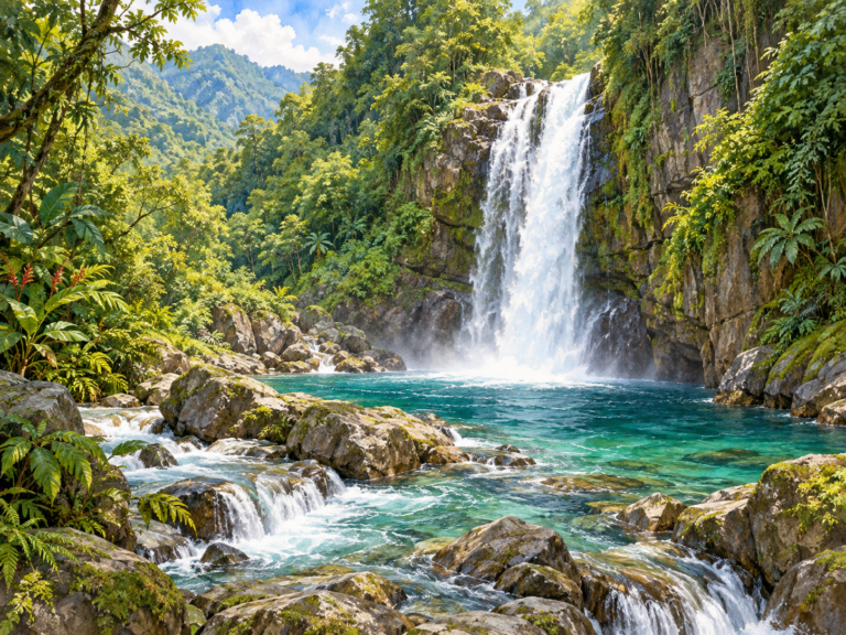
Caída del Cielo Waterfall

Spanish name
Catarata Caída del Cielo
Scientific name

What Do Pico & Tati Think?

Join Pico and Tati to discover Caída del Cielo Waterfall and learn how water shapes Costa Rica’s landscapes.

Identification

Key Features of the Caída del Cielo Waterfall

  • Water color that varies with viewing conditions.

  • A mountain setting.

  • Vegetation and uneven terrain along the approach.

Habitat & range

Toro Amarillo / Bajos del Toro area, Alajuela. Look for the waterfall’s river, rock formations and surrounding vegetation from approved viewing areas.

Conservation & care

Visit with an adult and follow the site’s current access rules and staff guidance. Stay on authorized trails and behind barriers. Wet rocks, steep drops, strong currents and sudden rises in water can be dangerous. Do not jump from waterfalls or climb wet rock faces. Enter water only where explicitly permitted and conditions are approved by site staff. Leave plants, rocks and wildlife undisturbed and carry out all litter.

Plan Your Visit

Catarata Caída del Cielo — operator-arranged meeting point

Get Directions ↗

Getting There

Arrange the parking and meeting point with the operator before leaving. The tourism board describes access through a farm, with guides connecting visitors from parking to the trail.

Before You Go

The map is an attraction search, not a verified gate pin. Confirm the exact meeting point with the operator. Expect steep sections and ravines; confirm whether a guide is required and whether the route suits your family.
Visit information reviewed October 8, 2026. Confirm current access before travel.

View full profile →

Nature Field Guide

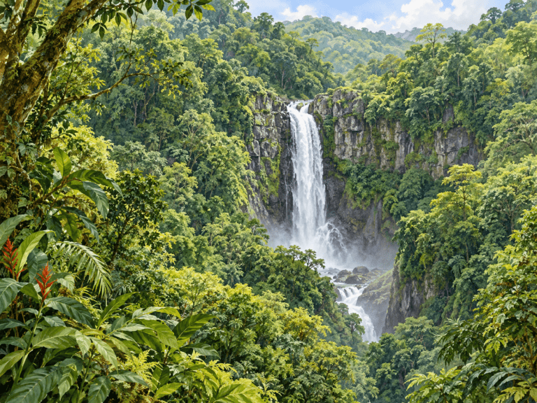
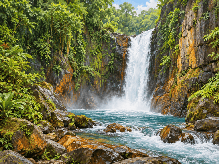
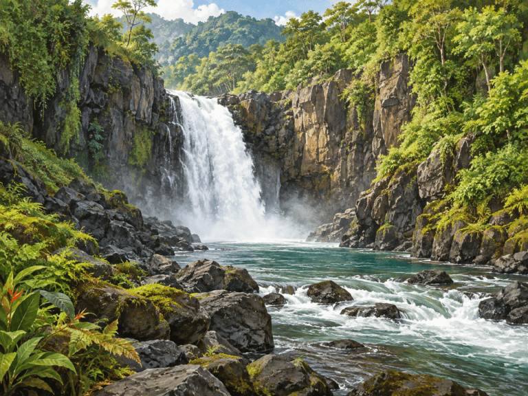
Catarata del Toro

Spanish name
Catarata del Toro
Scientific name

What Do Pico & Tati Think?

Join Pico and Tati to discover Catarata del Toro and learn how water shapes Costa Rica’s landscapes.

Identification

Key Features of the Catarata del Toro

  • A deep rocky basin.

  • A tall waterfall within steep walls.

  • Forest and vegetation around the viewpoints.

Habitat & range

Bajos del Toro, Alajuela. Look for the waterfall’s river, rock formations and surrounding vegetation from approved viewing areas.

Conservation & care

Visit with an adult and follow the site’s current access rules and staff guidance. Stay on authorized trails and behind barriers. Wet rocks, steep drops, strong currents and sudden rises in water can be dangerous. Do not jump from waterfalls or climb wet rock faces. Enter water only where explicitly permitted and conditions are approved by site staff. Leave plants, rocks and wildlife undisturbed and carry out all litter.

Plan Your Visit

Catarata del Toro — private reserve entrance

Get Directions ↗

Getting There

Drive first toward Bajos del Toro, then follow the operator’s signs to Catarata del Toro on the main paved road. The operator states that reaching its entrance does not require a dirt-road detour.

Before You Go

Confirm current opening days and admission with the reserve. Swimming is not permitted at Catarata del Toro.
Visit information reviewed October 8, 2026. Confirm current access before travel.

View full profile →

Nature Field Guide

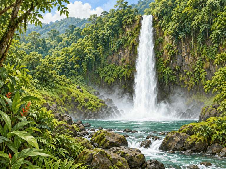
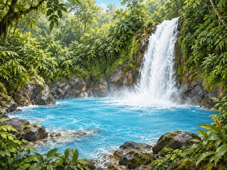
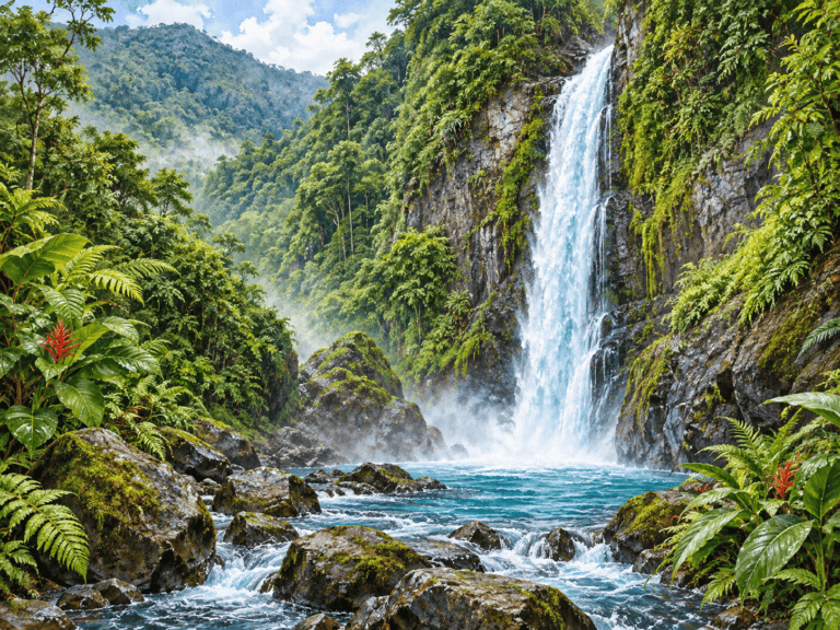
El Ángel Waterfall

Spanish name
Catarata del Ángel
Scientific name

What Do Pico & Tati Think?

Join Pico and Tati to discover El Ángel Waterfall and learn how water shapes Costa Rica’s landscapes.

Identification

Key Features of the El Ángel Waterfall

  • A waterfall in the Río Ángel corridor.

  • An upper section visible from certain viewpoints.

  • Vegetation and steep terrain that can hide portions of the falls.

Habitat & range

Near Cariblanco, Río Ángel corridor. Look for the waterfall’s river, rock formations and surrounding vegetation from approved viewing areas.

Conservation & care

Visit with an adult and follow the site’s current access rules and staff guidance. Stay on authorized trails and behind barriers. Wet rocks, steep drops, strong currents and sudden rises in water can be dangerous. Do not jump from waterfalls or climb wet rock faces. Enter water only where explicitly permitted and conditions are approved by site staff. Leave plants, rocks and wildlife undisturbed and carry out all litter.

Plan Your Visit

Cariblanco / La Isla — El Ángel waterfall viewing area

Get Directions ↗

Getting There

Use Cariblanco as the approach area and arrange the exact viewing or trail meeting point with a local guide. The tourism board describes views from parts of the highway around La Isla.

Before You Go

This map is an approach-area search, not a verified public entrance. Confirm land permission and current trail access before walking along the Ángel River. This is El Ángel near Cariblanco, not El Ángel Gabriel in San Ramón.
Visit information reviewed October 8, 2026. Confirm current access before travel.

View full profile →

Nature Field Guide

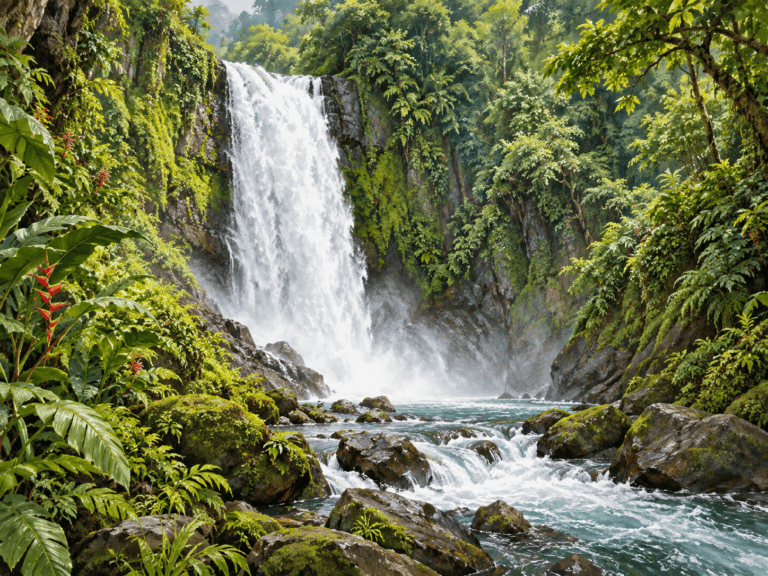
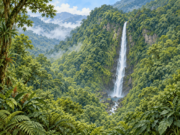
La Fortuna Waterfall

Spanish name
Catarata La Fortuna
Scientific name

What Do Pico & Tati Think?

Join Pico and Tati to discover La Fortuna Waterfall and learn how water shapes Costa Rica’s landscapes.

Identification

Key Features of the La Fortuna Waterfall

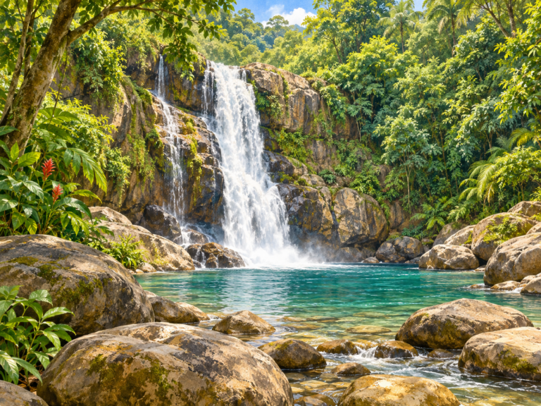
  • A narrow falling column of water.

  • Forested slopes around the river.

  • Mist and wet rocks near the base.

Habitat & range

La Fortuna, Alajuela. Look for the waterfall’s river, rock formations and surrounding vegetation from approved viewing areas.

Conservation & care

Visit with an adult and follow the site’s current access rules and staff guidance. Stay on authorized trails and behind barriers. Wet rocks, steep drops, strong currents and sudden rises in water can be dangerous. Do not jump from waterfalls or climb wet rock faces. Enter water only where explicitly permitted and conditions are approved by site staff. Leave plants, rocks and wildlife undisturbed and carry out all litter.

Plan Your Visit

La Fortuna Waterfall — ADIFORT visitor entrance

Get Directions ↗

Getting There

Navigate to the managed La Fortuna Waterfall entrance outside La Fortuna. After admission, a long stairway descends through the forest to the waterfall; allow energy and time for the climb back.

Before You Go

Admission supports ADIFORT community projects. Ask staff about current water conditions and permitted swimming areas. The stairway may be unsuitable for visitors with limited mobility.
Visit information reviewed October 8, 2026. Confirm current access before travel.

View full profile →

Nature Field Guide

La Paz Waterfall

Spanish name
Catarata La Paz
Scientific name

What Do Pico & Tati Think?

Join Pico and Tati to discover La Paz Waterfall and learn how water shapes Costa Rica’s landscapes.

Identification

Key Features of the La Paz Waterfall

  • A waterfall framed by forest.

  • A river continuing through a cascade landscape.

  • Roadside and managed viewing contexts.

Habitat & range

Vara Blanca–Cinchona road corridor. Look for the waterfall’s river, rock formations and surrounding vegetation from approved viewing areas.

Conservation & care

Visit with an adult and follow the site’s current access rules and staff guidance. Stay on authorized trails and behind barriers. Wet rocks, steep drops, strong currents and sudden rises in water can be dangerous. Do not jump from waterfalls or climb wet rock faces. Enter water only where explicitly permitted and conditions are approved by site staff. Leave plants, rocks and wildlife undisturbed and carry out all litter.

Plan Your Visit

La Paz Waterfall Gardens — managed visitor reception

Get Directions ↗

Getting There

Navigate to La Paz Waterfall Gardens in the Vara Blanca area and check in at the park reception for its maintained waterfall trail network.

Before You Go

This map selects the managed park entrance, not a roadside stopping point. Confirm admission and current trails; the gardens contain several waterfalls and require walking and stairs.
Visit information reviewed October 8, 2026. Confirm current access before travel.

View full profile →

Nature Field Guide

Las Chorreras Waterfalls

Spanish name
Cataratas Las Chorreras
Scientific name

What Do Pico & Tati Think?

Join Pico and Tati to discover Las Chorreras Waterfalls and learn how water shapes Costa Rica’s landscapes.

Identification

Key Features of the Las Chorreras Waterfalls

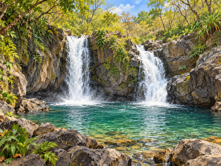
  • Two side-by-side falls.

  • A small volcanic-rock canyon.

  • Surrounding tropical dry forest.

Habitat & range

Hacienda Guachipelín, Rincón de la Vieja area, Guanacaste. Look for the waterfall’s river, rock formations and surrounding vegetation from approved viewing areas.

Conservation & care

Visit with an adult and follow the site’s current access rules and staff guidance. Stay on authorized trails and behind barriers. Wet rocks, steep drops, strong currents and sudden rises in water can be dangerous. Do not jump from waterfalls or climb wet rock faces. Enter water only where explicitly permitted and conditions are approved by site staff. Leave plants, rocks and wildlife undisturbed and carry out all litter.

Plan Your Visit

Hacienda Guachipelín — Las Chorreras visitor check-in

Get Directions ↗

Getting There

Navigate to Hacienda Guachipelín and check in for the Las Chorreras waterfall walk. Use the operator’s authorized trail and directions.

Before You Go

Confirm the entrance package, walking route and current swimming conditions with the operator.
Visit information reviewed October 8, 2026. Confirm current access before travel.

View full profile →

Nature Field Guide

Llanos de Cortés Waterfall

Spanish name
Catarata Llanos de Cortés
Scientific name

What Do Pico & Tati Think?

Join Pico and Tati to discover Llanos de Cortés Waterfall and learn how water shapes Costa Rica’s landscapes.

Identification

Key Features of the Llanos de Cortés Waterfall

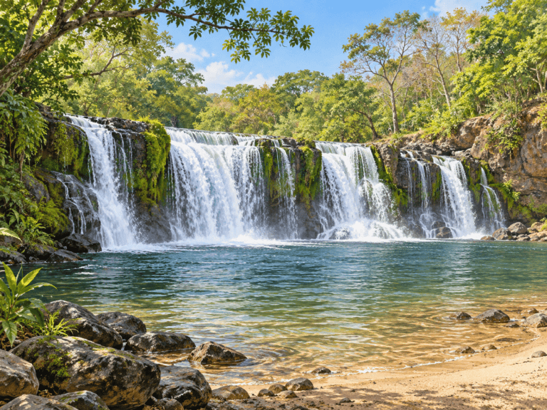
  • A broad waterfall curtain.

  • Rock and moss around the ledge.

  • A pool and sandy area below.

Habitat & range

Bagaces, Guanacaste. Look for the waterfall’s river, rock formations and surrounding vegetation from approved viewing areas.

Conservation & care

Visit with an adult and follow the site’s current access rules and staff guidance. Stay on authorized trails and behind barriers. Wet rocks, steep drops, strong currents and sudden rises in water can be dangerous. Do not jump from waterfalls or climb wet rock faces. Enter water only where explicitly permitted and conditions are approved by site staff. Leave plants, rocks and wildlife undisturbed and carry out all litter.

Plan Your Visit

Llanos de Cortés — visitor entrance near Bagaces

Get Directions ↗

Getting There

Navigate to the visitor entrance near Bagaces, rather than to a pin in the waterfall pool. Confirm the parking area and authorized walking route on arrival.

Before You Go

Confirm current admission and opening arrangements locally. Ask staff about water conditions before entering any designated swimming area.
Visit information reviewed October 8, 2026. Confirm current access before travel.

View full profile →

Nature Field Guide

Montezuma Waterfalls

Spanish name
Cataratas de Montezuma
Scientific name

What Do Pico & Tati Think?

Join Pico and Tati to discover Montezuma Waterfalls and learn how water shapes Costa Rica’s landscapes.

Identification

Key Features of the Montezuma Waterfalls

  • A waterfall and natural pool.

  • Rocky river terrain.

  • Forest close to the coastal community.

Habitat & range

Montezuma, Nicoya Peninsula, Puntarenas. Look for the waterfall’s river, rock formations and surrounding vegetation from approved viewing areas.

Conservation & care

Visit with an adult and follow the site’s current access rules and staff guidance. Stay on authorized trails and behind barriers. Wet rocks, steep drops, strong currents and sudden rises in water can be dangerous. Do not jump from waterfalls or climb wet rock faces. Enter water only where explicitly permitted and conditions are approved by site staff. Leave plants, rocks and wildlife undisturbed and carry out all litter.

Plan Your Visit

Montezuma Waterfalls — lower-trail approach near La Cascada

Get Directions ↗

Getting There

The lower-waterfall trail approach is near La Cascada Restaurant and the bridge on the Cabuya side of Montezuma. Confirm the current public trail access locally before setting out.

Before You Go

The map indicates an approach landmark, not a managed entrance or an upper-waterfall route. Confirm access permission and trail conditions. Use a local guide if unsure; do not jump from the falls.
Visit information reviewed October 8, 2026. Confirm current access before travel.

View full profile →

Nature Field Guide

Nauyaca Waterfalls

Spanish name
Cataratas Nauyaca
Scientific name

What Do Pico & Tati Think?

Join Pico and Tati to discover Nauyaca Waterfalls and learn how water shapes Costa Rica’s landscapes.

Identification

Key Features of the Nauyaca Waterfalls

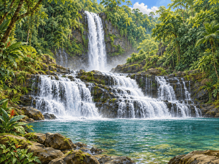
  • A tall upper waterfall.

  • A lower fall spreading over steps of rock.

  • Forest around a broad canyon and pools.

Habitat & range

Barú area near Platanillo and Dominical. Look for the waterfall’s river, rock formations and surrounding vegetation from approved viewing areas.

Conservation & care

Visit with an adult and follow the site’s current access rules and staff guidance. Stay on authorized trails and behind barriers. Wet rocks, steep drops, strong currents and sudden rises in water can be dangerous. Do not jump from waterfalls or climb wet rock faces. Enter water only where explicitly permitted and conditions are approved by site staff. Leave plants, rocks and wildlife undisturbed and carry out all litter.

Plan Your Visit

Nauyaca Waterfall Nature Park — San Salvador office

Get Directions ↗

Getting There

For this entrance, approach via Route 243 to Tinamastes and follow the operator’s signs toward San Salvador and its office. Check in for the hiking or transport option.

Before You Go

Nauyaca has two separately operated entrances. This map selects Nauyaca Waterfall Nature Park, not the other operator. Match your ticket to this office and confirm the recommended vehicle route.
Visit information reviewed October 8, 2026. Confirm current access before travel.

View full profile →

Nature Field Guide

Oropéndola Waterfall

Spanish name
Catarata Oropéndola
Scientific name

What Do Pico & Tati Think?

Join Pico and Tati to discover Oropéndola Waterfall and learn how water shapes Costa Rica’s landscapes.

Identification

Key Features of the Oropéndola Waterfall

  • A waterfall descending between canyon walls.

  • A pool that can appear turquoise.

  • Vegetation along the Río Blanco.

Habitat & range

Rincón de la Vieja area, Guanacaste. Look for the waterfall’s river, rock formations and surrounding vegetation from approved viewing areas.

Conservation & care

Visit with an adult and follow the site’s current access rules and staff guidance. Stay on authorized trails and behind barriers. Wet rocks, steep drops, strong currents and sudden rises in water can be dangerous. Do not jump from waterfalls or climb wet rock faces. Enter water only where explicitly permitted and conditions are approved by site staff. Leave plants, rocks and wildlife undisturbed and carry out all litter.

Plan Your Visit

Hacienda Guachipelín — Oropéndola visitor check-in

Get Directions ↗

Getting There

Navigate to Hacienda Guachipelín near Curubandé and check in for Oropéndola access. Follow the operator’s directions to the correct trailhead.

Before You Go

This map targets the operator check-in, not the waterfall pool. Confirm the current check-in point, ticket, trail access and swimming conditions before visiting.
Visit information reviewed October 8, 2026. Confirm current access before travel.

View full profile →

Nature Field Guide

Río Agrio Waterfall

Spanish name
Catarata Río Agrio
Scientific name

What Do Pico & Tati Think?

Join Pico and Tati to discover Río Agrio Waterfall and learn how water shapes Costa Rica’s landscapes.

Identification

Key Features of the Río Agrio Waterfall

  • A waterfall within a wooded river corridor.

  • Rock walls and wet vegetation.

  • A river influenced by volcanic minerals.

Habitat & range

Toro Amarillo / Bajos del Toro area, Alajuela. Look for the waterfall’s river, rock formations and surrounding vegetation from approved viewing areas.

Conservation & care

Visit with an adult and follow the site’s current access rules and staff guidance. Stay on authorized trails and behind barriers. Wet rocks, steep drops, strong currents and sudden rises in water can be dangerous. Do not jump from waterfalls or climb wet rock faces. Enter water only where explicitly permitted and conditions are approved by site staff. Leave plants, rocks and wildlife undisturbed and carry out all litter.

Plan Your Visit

Catarata Río Agrio–Dino Land — visitor entrance

Get Directions ↗

Getting There

The municipal directory locates the entrance approximately 4 km north of the Bajos del Toro sports field. Navigate to Catarata Río Agrio–Dino Land and use its visitor parking and managed trails.

Before You Go

Confirm current entry options with the operator. Different attractions and pools may have different access rules; ask staff where visitors may enter the water.
Visit information reviewed October 8, 2026. Confirm current access before travel.

View full profile →

Nature Field Guide

Río Celeste Waterfall

Spanish name
Catarata Río Celeste
Scientific name

What Do Pico & Tati Think?

Join Pico and Tati to discover Río Celeste Waterfall and learn how water shapes Costa Rica’s landscapes.

Identification

Key Features of the Río Celeste Waterfall

  • Blue-toned water when conditions allow.

  • A waterfall framed by forest.

  • A viewing area reached by steps.

Habitat & range

Tenorio Volcano National Park, northern Costa Rica. Look for the waterfall’s river, rock formations and surrounding vegetation from approved viewing areas.

Conservation & care

Visit with an adult and follow the site’s current access rules and staff guidance. Stay on authorized trails and behind barriers. Wet rocks, steep drops, strong currents and sudden rises in water can be dangerous. Do not jump from waterfalls or climb wet rock faces. Enter water only where explicitly permitted and conditions are approved by site staff. Leave plants, rocks and wildlife undisturbed and carry out all litter.

Plan Your Visit

Tenorio Volcano National Park — El Pilón entrance

Get Directions ↗

Getting There

Enter through El Pilón and follow the marked Río Celeste trail. The waterfall lookout requires a descent on stairs and the return climb.

Before You Go

Reserve through SINAC. Swimming and entering the river are prohibited inside the national park. Rain may affect trail conditions and visibility.
Visit information reviewed October 8, 2026. Confirm current access before travel.

View full profile →

Nature Field Guide

San Fernando Waterfall

Spanish name
Catarata San Fernando
Scientific name

What Do Pico & Tati Think?

Join Pico and Tati to discover San Fernando Waterfall and learn how water shapes Costa Rica’s landscapes.

Identification

Key Features of the San Fernando Waterfall

  • A tall falling stream.

  • Dense vegetation around the falls.

  • Steep forested terrain.

Habitat & range

Cinchona, Vara Blanca–San Miguel de Sarapiquí corridor. Look for the waterfall’s river, rock formations and surrounding vegetation from approved viewing areas.

Conservation & care

Visit with an adult and follow the site’s current access rules and staff guidance. Stay on authorized trails and behind barriers. Wet rocks, steep drops, strong currents and sudden rises in water can be dangerous. Do not jump from waterfalls or climb wet rock faces. Enter water only where explicitly permitted and conditions are approved by site staff. Leave plants, rocks and wildlife undisturbed and carry out all litter.

Plan Your Visit

Cinchona — San Fernando waterfall viewing area

Get Directions ↗

Getting There

Travel along the Vara Blanca–San Miguel de Sarapiquí corridor to Cinchona. Arrange a permitted viewing stop with a local business or guide and ask where parking is available.

Before You Go

This map shows Cinchona as a viewing area, not a verified waterfall trailhead. The tourism board identifies highway views. Public base access is not verified; obtain permission before entering private land.
Visit information reviewed October 8, 2026. Confirm current access before travel.

View full profile →

Nature Field Guide

Tesoro Escondido Waterfall

Spanish name
Catarata Tesoro Escondido
Scientific name

What Do Pico & Tati Think?

Join Pico and Tati to discover Tesoro Escondido Waterfall and learn how water shapes Costa Rica’s landscapes.

Identification

Key Features of the Tesoro Escondido Waterfall

  • A waterfall surrounded by vegetation.

  • Rocky river terrain and neighboring pools.

  • Mountain scenery and viewpoints.

Habitat & range

Toro Amarillo / Bajos del Toro area, Alajuela. Look for the waterfall’s river, rock formations and surrounding vegetation from approved viewing areas.

Conservation & care

Visit with an adult and follow the site’s current access rules and staff guidance. Stay on authorized trails and behind barriers. Wet rocks, steep drops, strong currents and sudden rises in water can be dangerous. Do not jump from waterfalls or climb wet rock faces. Enter water only where explicitly permitted and conditions are approved by site staff. Leave plants, rocks and wildlife undisturbed and carry out all litter.

Plan Your Visit

Catarata Tesoro Escondido — visitor reception

Get Directions ↗

Getting There

Navigate to the Tesoro Escondido visitor reception in the Bajos del Toro area. Check in before taking the managed trails to the waterfall and any included viewpoints.

Before You Go

Reserve the package you want with the operator; the waterfall, pools and Mirador La Gota may be included differently. Confirm trail conditions and suitability for children.
Visit information reviewed October 8, 2026. Confirm current access before travel.

View full profile →

Nature Field Guide

Victoria Waterfall

Spanish name
Catarata Victoria
Scientific name

What Do Pico & Tati Think?

Join Pico and Tati to discover Victoria Waterfall and learn how water shapes Costa Rica’s landscapes.

Identification

Key Features of the Victoria Waterfall

  • Water falling into the Río Negro.

  • Canyon rock formations.

  • Plants growing around the river corridor.

Habitat & range

Hacienda Guachipelín, Rincón de la Vieja area, Guanacaste. Look for the waterfall’s river, rock formations and surrounding vegetation from approved viewing areas.

Conservation & care

Visit with an adult and follow the site’s current access rules and staff guidance. Stay on authorized trails and behind barriers. Wet rocks, steep drops, strong currents and sudden rises in water can be dangerous. Do not jump from waterfalls or climb wet rock faces. Enter water only where explicitly permitted and conditions are approved by site staff. Leave plants, rocks and wildlife undisturbed and carry out all litter.

Plan Your Visit

Hacienda Guachipelín — Victoria Waterfall visitor check-in

Get Directions ↗

Getting There

Navigate to Hacienda Guachipelín and arrange Victoria Waterfall access at check-in. Staff will direct you to the authorized access route into the Río Negro canyon.

Before You Go

Confirm tour arrangements and suitability for children. Use the operator’s access instructions rather than navigating directly to a canyon pin.
Visit information reviewed October 8, 2026. Confirm current access before travel.

View full profile →

My Tico Explorer Experience

Save nature, towns, discoveries and learning adventures for your next experience.

Your list stays in this browser on this device.