

This waterfall is a separate outing in the Bagaces area. Confirm current access and conditions before traveling and choose a viewing route suited to your group. Wet rocks and changing water conditions require care; avoid jumps or unmarked approaches.
A Snorkeling Question Before Booking
A marine outing begins with choosing conditions and equipment for the participants. Ask the operator about swimming ability, ages, flotation and how wildlife is protected. Do not stand on marine habitat or assume every advertised trip suits every child.
Punta Catedral
Punta Catedral is a named feature of the park’s coastal landscape and trail network. Ask rangers which routes are open before setting out. View the meeting of forest and sea from designated areas without stepping beyond barriers for a photograph.
Playa Gemelas
The park map identifies Playa Gemelas along its coastal trail network. Check current trail access with rangers and plan for your group’s walking ability. Enjoy the shoreline from permitted areas and leave shells, rocks and marine life where they belong.
Puerto Escondido Viewpoint
The official park map includes a viewpoint toward Puerto Escondido. Treat this as a lookout outing on an authorized route, rather than assuming beach access is permitted. Follow closures and barriers, and bring water for the return walk.
Punta Serrucho Viewpoint
A designated viewpoint introduces another perspective on Manuel Antonio’s rugged coast. Ask about the open route and its terrain before walking. Pause to compare headlands and wave patterns while remaining behind signs and protective barriers.
El Perezoso Trail Area
The official park map names El Perezoso within its trail network. Slow down, look among the branches and listen for movement without expecting a guaranteed sloth sighting. Ask staff which route best suits your group and current conditions.
Los Congos Trail
Los Congos appears on SINAC’s park trail map. Ask which paths are currently open and choose a walk for your group’s fitness and the weather. Notice different layers of vegetation, keeping voices low and staying on the marked route.
Seasonal Waterfall Trail
The park map marks a seasonal waterfall trail. Water flow and access depend on conditions, so ask rangers before including it in your day. Look for signs of water shaping the forest without leaving the designated path or entering restricted areas.
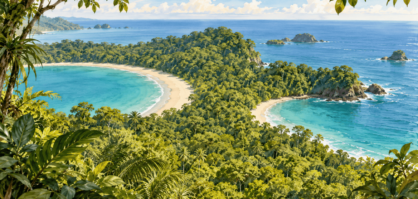
Manuel Antonio
Explore Manuel Antonio and nearby Quepos through rainforest walks, coastal discoveries, mangroves and thoughtful family outings.